
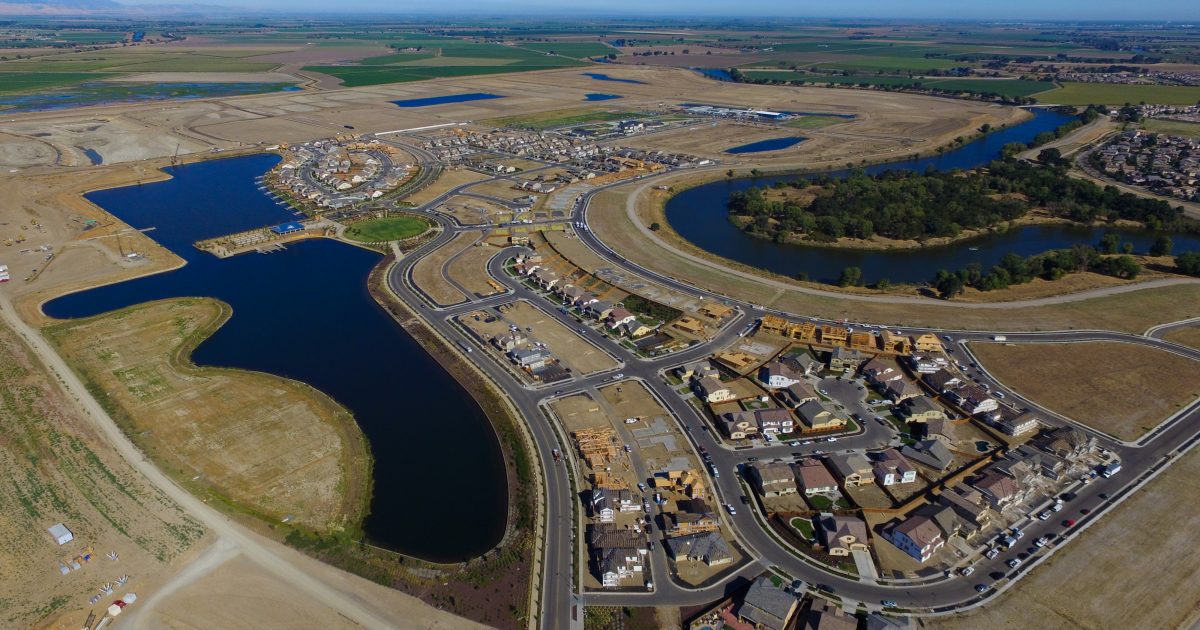
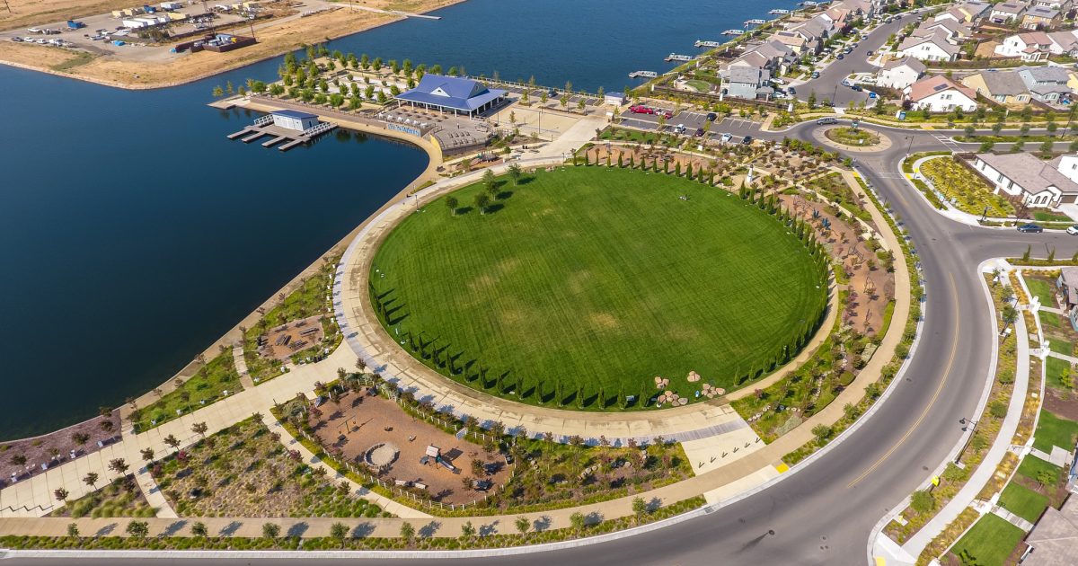
River Islands is a 5,000-acre site proposed for 15,000 residential units, nearly 5 million square feet of commercial space, a town center, retail, state-of-the-art public schools and critical facilities a Football and Baseball stadium, and recreational and educational development. The project is located within Stewart Tract, a reclaimed Delta Island, in Lathrop, California, and is flood protected by levees maintained by Reclamation District No. 2062 (RD 2062). The project design includes the construction of interior lakes, associated water crossings, and new bridges across the San Joaquin River and Paradise Cut. ENGEO is providing geotechnical design, environmental consultation, testing and observation, stormwater management, ground- and surface-water monitoring, and construction management services for the project.
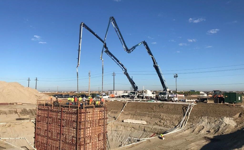
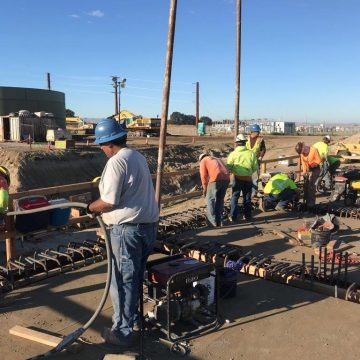
ENGEO performed numerous Geotechnical studies within Stewart Tract in support of the proposed development including site-specific explorations for the proposed elementary (K-8) and high schools, police and fire stations, several million+ gallon potable water storage tanks, electrical substation and switch yard, and other studies for the planned infrastructure for over 15,000 residential single and multi-family dwellings. In addition, ENGEO performed detailed exploration and engineering analyses in support of the construction and certification of over 16 miles of newly constructed levees designed to protect against 200-year flood events. The River Islands levees were evaluated for stability (static and seismic), seepage (through and under), and settlement under anticipated hydraulic loading conditions for 100- and 200-year river stages. Geotechnical design included performing hundreds of Cone Penetration Test (CPT) soundings, borings, test pits, and additional subsurface explorations to sample, test, and evaluate the existing Federal Project levee and the foundation soils beneath the proposed new levees.
In addition, the site was analyzed using a nonlinear site-response analysis program that includes the ability to estimate the development, redistribution, and dissipation of excess pore pressure and the seismic settlement of both liquefying and non-liquefying soils. To benefit the project stakeholders this refined analysis was used to avoid increased construction time and costs. This process also avoided adversely impacting the risk of damage due to earthquakes.
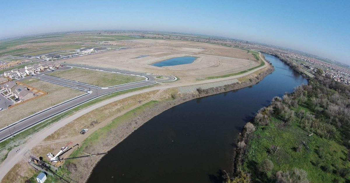
The evaluation of the Stewart Tract area faced challenges in characterizing subsurface conditions, including natural geologic and geomorphologic features such as paleochannels and numerous cross cutting point bar sand deposits, and man-made features such as the central drainage canal which bifurcates the project and is a federally protected wetland. The newly designed and constructed River Islands setback levees exceed the Urban Levee Design Criteria (ULDC) minimum dimensions, with widened crowns and raised elevations. Exit gradient calculations considered the oversized levee dimensions, using the ULDC. Challenges also included addressing three-dimensional seepage effects at bends in the levee alignment, which required detailed plan view analyses. In addition, some segments of the RD 2062 setback levees implemented relief wells and check dams to address seepage and scour concerns, meeting ULDC requirements for 200-year level of flood protection (ULOP).