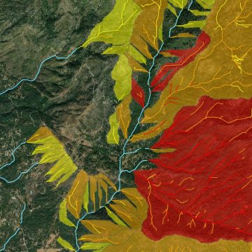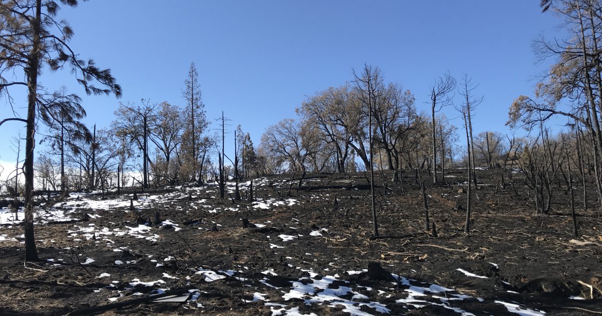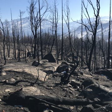
The Creek Fire burned approximately 380,000 acres of Sierra National Forest in Fresno and Madera Counties from September to December 2020. When the wildfire was finally contained in December 2020, it was the largest single fire in California history (not part of a greater complex). Wildfires destroy stabilizing vegetation, which can lead to geologic hazards such as mudflows, debris flows, and excessive erosion during rain events. ENGEO assisted the Madera County Water and Natural Resources Department with hazard evaluation, post-fire mitigation, and emergency planning in response to the Creek Fire. Click the link below to learn more about ENGEO’s contribution to Creek Fire Mitigation.
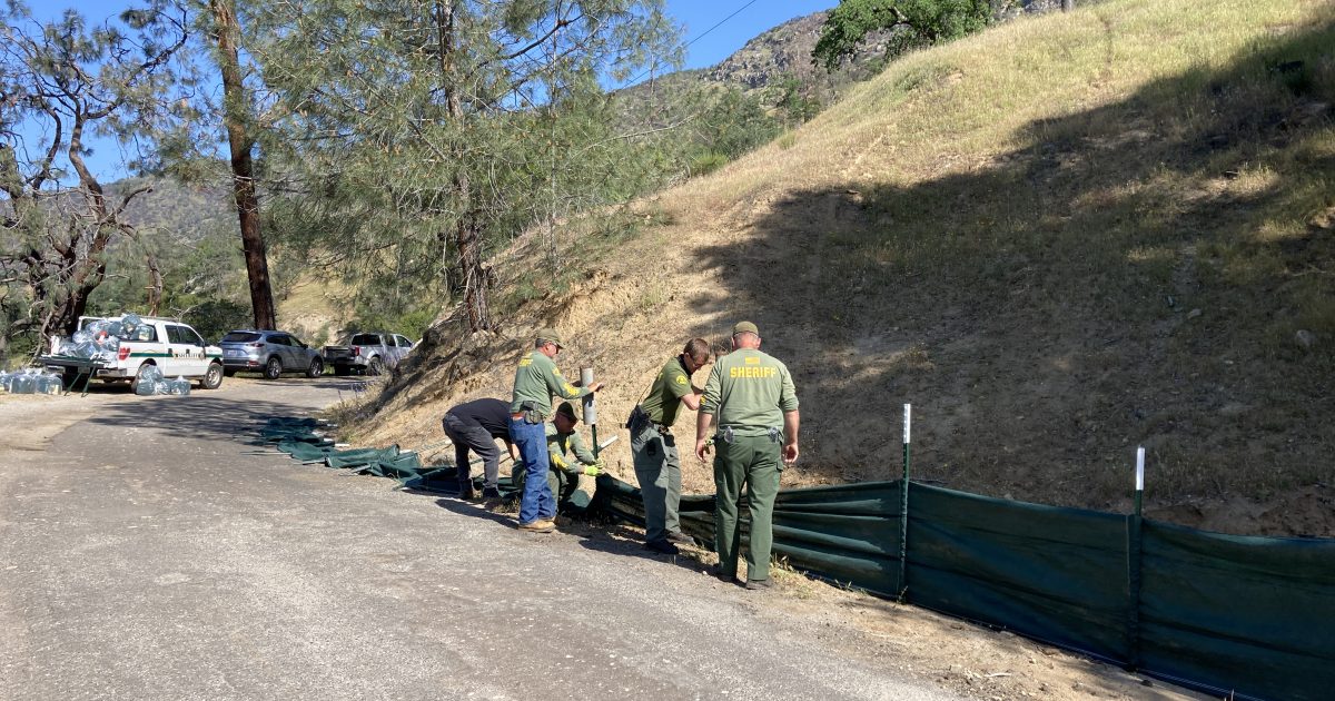
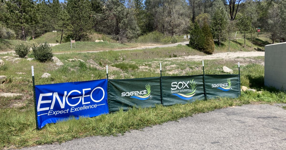
ENGEO reviewed aerial images, topographic maps, soil burn severity maps, and USGS debris flow hazard models to identify communities and infrastructure at risk of sediment-laden flood and debris flow hazards. With multiple field visits to evaluate the burned watersheds and investigate downstream roads, bridges, culverts, and structures, ENGEO created a web-based GIS platform to delineate debris flow hazard risk zones, pinpoint specific values at risk, and recommend locations where erosion control materials could be implemented. ENGEO held meetings with Madera County officials, emergency responders, and community members to describe the nature of potential hazards and to provide recommendations for appropriate mitigation and evacuation measures. In addition, ENGEO provided drone footage and technical oversight during the installation of recommended mitigation measures.