Don’t Let a Fire Disaster Turn Into an Erosion Disaster
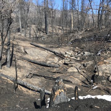
Fire season doesn’t end when the flames are finally put out. Areas affected by wildfires become susceptible to soil erosion that can manifest as mudslides and debris flows during wet weather. ENGEO’s team of engineers, geologists, and GIS analysts provides post-fire erosion mitigation solutions to protect your critical infrastructure, properties, and sensitive water bodies.
Our professionals work closely with state, county, and local agencies, emergency responders, geologic hazard abatement districts, homeowners’ associations, and private landowners to assess the immediate and potential effects of natural disasters.
ENGEO can provide:
Rapid post-fire hazard evaluation
Drone surveys and aerial imagery for post-fire reconnaissance
Debris flow mapping
Development of GIS-based post-fire planning tools
Hydrologic and hydraulic modeling
Permanent mitigation designs involving ring net barriers, debris basins, and culvert bollards/screens
Temporary mitigation designs utilizing sustainable/re-usable erosion and sediment control products
Post-fire related environmental impacts assessment
Emergency response planning
Resource agency permitting
Weather station and camera installation for real-time monitoring
Implementation and management of fire-fuel abatement zones through the creation and management of Community Based Geologic Hazard Abatement Districts (GHADs)