
The Victoria Island Emergency Levee Repair project is an emergency response initiative aimed at stabilizing an active levee failure. Victoria Island, located in San Joaquin County, California, is protected from flooding by an earthen levee system maintained by the Victoria Island Reclamation District (RD2040). Like many islands in the California Delta, the RD2040 levees are characterized by soft peat foundations, which have settled below sea level during the agricultural development of the Delta.
The Reclamation District declared a state of emergency due to a levee failure risk on Victoria Island. San Joaquin County Office of Emergency Services, California Department of Water Resources, and San Joaquin Sheriff’s Department were involved in the response. The failure threatened agricultural lands, 4 miles of Highway 4, and regional drinking water. Engineers observed seepage boils and a partial levee collapse along the Old River levee, discharging 5,000–6,000 gallons per minute, prompting emergency stabilization. Flood-fighting efforts included mobilizing equipment from neighboring districts and contractors and transporting levee fill from nearby quarries.
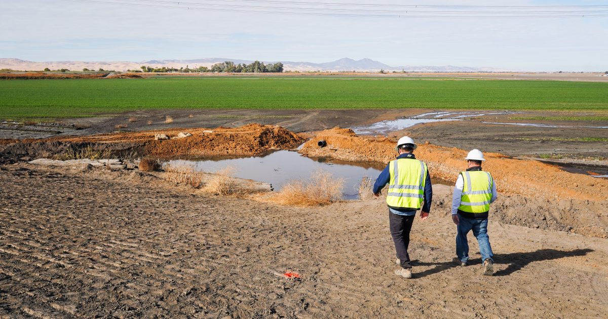
ENGEO played a pivotal role during the emergency stabilization and repair of the Victoria Island levees. During the flood-fighting efforts, ENGEO provided engineering support to the district engineer, including providing options for stabilizing the seepage boils and directing contractors during mitigation. ENGEO worked closely with contractors, local agencies, and the District Engineer (Kjeldsen, Sinnock and Neudeck, Inc.) to coordinate field efforts, including trenching, drilling, and permitting activities.
A partial levee failure of this magnitude indicated that a complete collapse was imminent, requiring rapid mobilization and response. Flood-fighting efforts were performed around the clock until the levee was eventually stabilized. Stabilization efforts included re-grading the levee prism, excavating a cutoff trench, constructing a ring berm around the boil area, and placing fill on the waterside of the levee to plug seepage entry points.
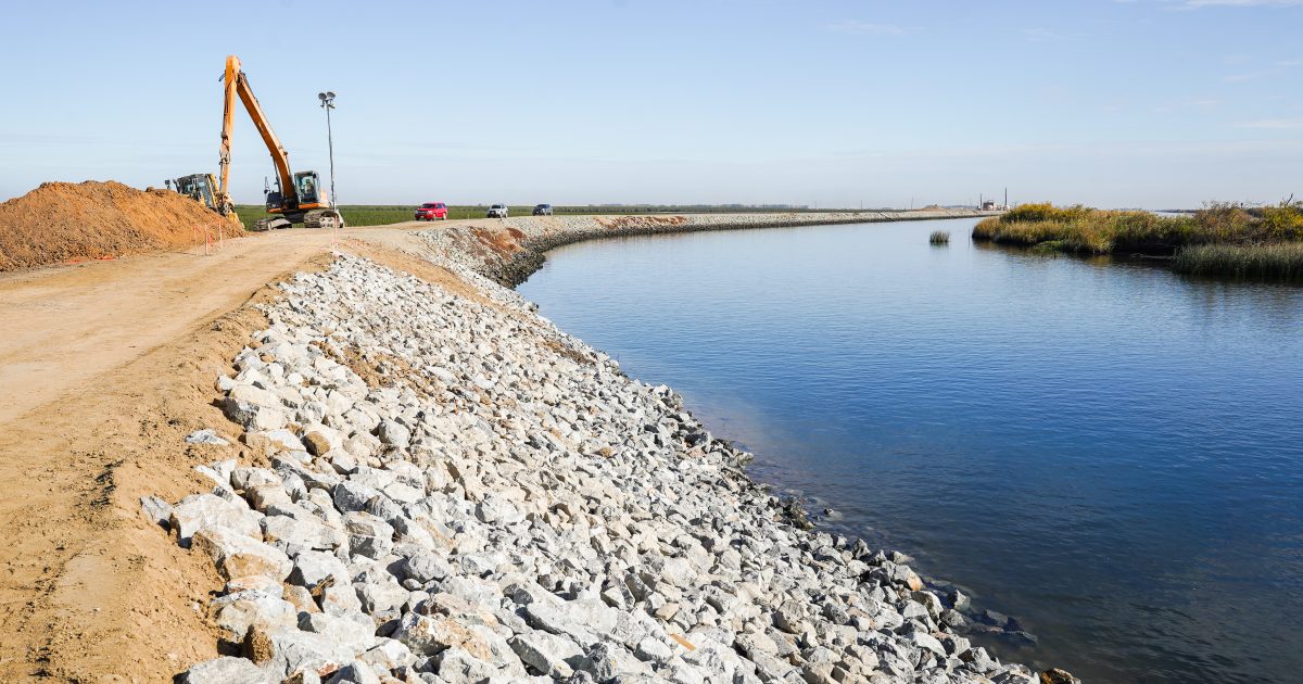
Once the levee was stabilized, we conducted a thorough desktop study of geologic and topographic maps, bathymetric surveys, and historical performance reports; performed Cone Penetration Testing near the failure; carried out a forensic seepage analysis to identify probable failure mechanisms; and developed design alternatives for long-term mitigation. A multiagency effort then implemented a permanent repair, ultimately improving the levee with a sheet pile cutoff wall and landside stabilization berm.
Our comprehensive approach and expertise were instrumental in addressing the immediate risks and ensuring the safety and resilience of the surrounding infrastructure and communities.